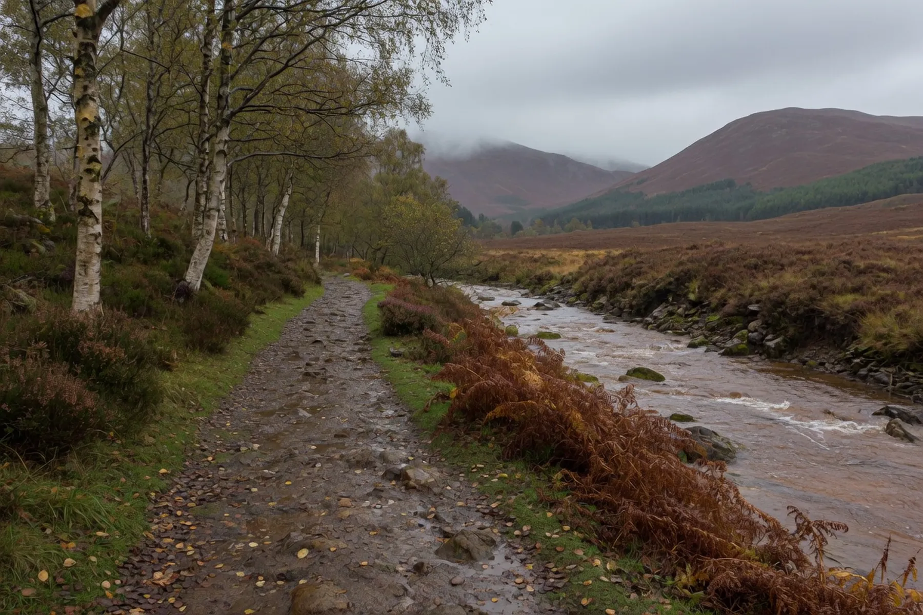
Glen Nevis is the valley Fort William sits in. The River Nevis runs south-east from the Mamores, past the visitor centre, the campsite and a string of car parks, then into a wooded gorge that opens onto a meadow and a waterfall. Ben Nevis is the north wall of the same glen. It is a public road, several car parks, a seasonal bus that stops short of the gorge, and a path the John Muir Trust has to keep repairing.
From the Nevis Bridge mini-roundabout the glen road is the only way in by car. High Life Highland, which runs the visitor centre, puts that building 1.5 miles from the roundabout and around four kilometres from the town centre. A pavement on the east side of the road runs as far as the centre.
Forestry and Land Scotland’s Braveheart car park is the first proper pull-off, about three-quarters of a mile up on the right. Use it for Cow Hill and the woodland tracks, not for Steall. Beyond it the road continues past the visitor centre, the campsite, the youth hostel and the climbing crags at Polldubh, then narrows.
After Lower Falls the tarmac is single-track, with few passing places. The John Muir Trust, which owns the upper glen, has been blunt: the road is not suitable for large vehicles because of the small bridges, and late morning in summer is when it blocks. Do not take a campervan up there. If the road-end park is full, turn at Lower Falls rather than parking in a passing place.
The Ben Nevis Visitor Centre is the information point for the glen and for the Mountain Track. High Life Highland listed it open 08:00 to 16:00, seven days, when this was written — check their opening-times page, because the toilets follow the building. The centre has a ramp, accessible toilets and accessible parking; they describe wheelchair access as partial.
From the footbridge by the centre a riverside path heads upstream on the far bank. Walkhighlands calls the first stretch an all-abilities path: benches, woodland, the river on one side, and the mountain path peeling off left. It is also the start of the route to Ben Nevis, so it is busy. Our climbing guide is the mountain.
High Life Highland’s short riverside circuit comes back over the youth-hostel bridge. Their long version is a six-mile loop as far as Lower Falls, returning on the forest track. Either is a glen day that never reaches the gorge.
Halfway up, the river drops over a rock band under a bridge. Walkhighlands names this Polldubh, or the Lower Falls, and puts the drop at ten metres. You can see it from the road. Parking is at the bridge. Getting to the water is a few rocky steps, not a walk.
That is why families stop here, and why people jump on a hot afternoon. It is still a mountain river. After rain it rises fast; the pools look green one day and run brown the next. There is no supervision, and mobile signal in the glen is patchy. If you want the view, the bridge is enough. If you want to get in, judge the river on the day.
From the same car park, High Life Highland signs forest tracks at Achriabhach and a riverside path through a gate to Paddy’s Bridge — the quieter way toward the head of the glen if the road-end park is already a queue.
The walk people mean when they say Glen Nevis starts at the car park at the end of the road. The path goes into woodland and then along the lip of the Nevis Gorge, with the river in boulders below. The John Muir Trust owns this ground and maintains the path — in July 2026 their Nevis team was still clearing drains and replacing wire on it. The path is open. It is a hill path.
Walkhighlands publishes the out-and-back at 3.5 kilometres, one and a half to two hours, with 220 metres of ascent. High Life Highland’s own walk page says around forty minutes to Steall Meadows. The Trust describes a two-mile walk to a waterfall plunging over 100 metres — they call An Steall Bàn, the white spout, Scotland’s second-highest falls. Other guides argue about the ranking and the exact drop; use the landowner’s wording.
The path is rocky throughout. There are steep drops to the river, a ledge cut around a corner, and a stepped rocky climb with a wooden handrail. It is slippery when wet, which in this glen is most days. Sturdy footwear is not a style note. Then the trees stop and the glen opens into a flat meadow with the fall on the far wall. That is the moment.
A branch path leads to a three-wire crossing of the Water of Nevis: one wire for the feet, two for the hands. The Trust’s own leaflet says it leads to the foot of the falls and on into the Mamores. Crossing it is optional — the fall is fully visible from the meadow — and in wind or spate it is a bad idea. You have to come back the same way.
The Steall Waterfall page is the short version. The walks guide puts it among the other low days.
Four different operators. Read the machine in front of you.
Braveheart, Forestry and Land Scotland, on the right as you enter: £1 for up to an hour, £3 all day, Blue Badge free, card or RingGo, as listed on their Glen Nevis page in September 2026. Cow Hill and the woods, not Steall.
Visitor centre, High Life Highland: £8 a day on their live page, first come first served, full early on a clear morning. This is the Mountain Track park, not a town overflow — see parking in Fort William.
Lower Falls and Glen Nevis Road End (the Steall park) sit under Highland Council’s visitor-site rules. In May 2026 the Lochaber Area Committee approved mandatory pay-and-display at Glen Nevis Road End and Achintee Road End, with an overnight ban between 10pm and 8am. Whether the machine is in, and what it charges, is a fact for the post in front of you. The May 2026 council notice is the source. The road-end park is small and a dead end. In summer it fills. Do not park in passing places, and do not sleep in it.
Shiel Buses route 42 runs from Fort William bus station, Stance 7, to the Glen Nevis Youth Hostel and on to Lower Falls. The operator’s 2026 page says it runs from 11 May to 27 September, Monday to Sunday. Outbound departures on that timetable start at 09:30 and finish at 17:30; the last bus back from Lower Falls is 18:00. Check shielbuses.co.uk for the week you are here.
The bus does not go to the Steall car park. From Lower Falls you still have the single-track road or the riverside path. After 27 September 2026 the operator publishes no Glen Nevis timetable. That is the service stopping, not a quiet winter version.
The glen is sheltered, wooded and wet, which is the Highland midge’s preferred ground. Trees for Life, writing about Culicoides impunctatus, puts the peak in July and August, at dawn and dusk, in still air; numbers fall through September, and the first frost ends it. A breeze on the meadow is a different day from the gorge at seven in the evening in July. Repellent and a head net are the kit. Rain is why the falls run. The rain guide is the town list.
September is when the glen has room. The English schools have gone back, and the seasonal bus is still running until the 27th. West Coast Railways’ Jacobite afternoon service is published to 25 September 2026, the morning train to 23 October — check westcoastrailways.co.uk. If you are here on 12–13 September 2026, Nevis Range is running Scottish Downhill Association racing; that fills the town, not the gorge. Check Nevis Range’s calendar for the current programme. The when to visit page is the rest of the year.
The visitor-centre riverside, the Wishing Stone walk High Life Highland describes as wide paths with a short pavement section, and Lower Falls from the bridge are the family stops that match the ground.
The gorge is not a formally graded accessible path. The surface is rock, with steep drops to the river and no continuous handrail. High Life Highland tells you it is slippery when wet; Walkhighlands flags those drops. Fit older children in boots, with an adult who will turn around, do it. The all-abilities stretch is the lower river from the visitor-centre bridge, not Steall. The wire bridge is not a children’s activity. Our Fort William with kids page is the rest of the week.
Above the trees on the west side of the glen sits Dun Deardail, a vitrified Iron Age fort. Historic Environment Scotland schedules it as SM2893: a pear-shaped enclosure about 46 metres by 27 metres internally, the wall spread to eight metres and standing up to 2.5 metres, with lumps of melted stone. Forestry and Land Scotland’s excavation project, with AOC Archaeology, dated construction around 500 BC. Whether the fire that melted the rampart was attack, accident or ceremony is not settled.
High Life Highland signs the walk from the glen, partly along the West Highland Way. It is a climb. Almost nobody who came for the waterfall goes. The view is down the glen you have just driven, with the mountain opposite.